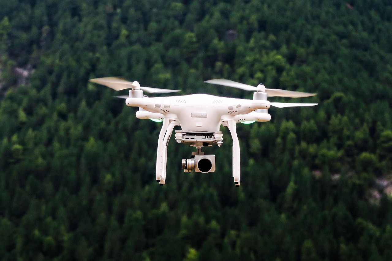
What to Know About Careers as a Professional Drone Operator
As aerial technology continues to evolve, many are exploring what it takes to become a professional drone operator. This career path blends technical skill with visual creativity, offering roles across fields like surveying, real estate mapping, agriculture, and film production. Whether focusing on certifications, industry tools, or FAA guidelines, understanding how individuals navigate this space can provide helpful perspective. More information is available below.

How Do I Obtain a FAA Drone License?
To operate a drone commercially in the United States, you must obtain a Remote Pilot Certificate from the Federal Aviation Administration (FAA). This license, often referred to as the FAA drone license, is a crucial step in becoming a professional drone operator. To acquire this certification, you need to:
-
Be at least 16 years old
-
Pass an aeronautical knowledge test at an FAA-approved testing center
-
Undergo a TSA background check
The aeronautical knowledge test covers topics such as airspace classification, weather patterns, emergency procedures, and drone regulations. Once you pass the test and clear the background check, you’ll receive your Remote Pilot Certificate, which is valid for two years.
What Are the Best Drone Certification Programs?
While the FAA drone license is the primary requirement for commercial drone operation, additional certifications can enhance your skills and marketability. Several reputable organizations offer drone certification programs that provide comprehensive training and industry-specific knowledge. Some of the best drone certification programs include:
-
DARTdrones: Offers a wide range of courses, from basic operation to specialized applications like thermal imaging and mapping.
-
UAV Coach: Provides online and in-person training, including exam prep for the FAA certification.
-
Drone Pilot Ground School: Features a comprehensive online course that prepares students for the FAA exam and covers practical flying skills.
-
Embry-Riddle Aeronautical University: Offers a professional education program in small unmanned aircraft systems (sUAS).
These programs can help you develop a strong foundation in drone operation, safety procedures, and industry best practices, giving you a competitive edge in the job market.
Why is Commercial Drone Insurance Important?
As a professional drone operator, obtaining commercial drone insurance is crucial for protecting yourself and your business from potential liabilities. Most clients will require proof of insurance before hiring you for a project. Commercial drone insurance typically covers:
-
Liability: Protects you if your drone causes property damage or bodily injury to third parties.
-
Hull Coverage: Covers damage to your drone and associated equipment.
-
Payload Coverage: Insures any additional equipment attached to your drone, such as cameras or sensors.
Several insurance providers specialize in drone coverage, including BWI Aviation Insurance, Skywatch.AI, and Verifly. It’s essential to compare policies and choose one that best fits your operational needs and budget.
What Are the Best Drones for Mapping?
Mapping and surveying are among the most in-demand applications for professional drone operators. Choosing the right drone for these tasks is crucial for delivering high-quality results to clients. Some of the best drones for mapping include:
| Drone Model | Key Features | Estimated Cost |
|---|---|---|
| DJI Phantom 4 RTK | High-precision positioning, 1-inch CMOS sensor, 30-minute flight time | $5,700 |
| Yuneec H520E RTK | 6-rotor design for stability, interchangeable payloads, 28-minute flight time | $3,500 |
| senseFly eBee X | Fixed-wing design, 90-minute flight time, multiple camera options | $16,000 |
| DJI Matrice 300 RTK | IP45 rating, 55-minute flight time, multiple payload configurations | $13,200 |
Prices, rates, or cost estimates mentioned in this article are based on the latest available information but may change over time. Independent research is advised before making financial decisions.
These drones offer a combination of accuracy, reliability, and advanced features that make them well-suited for professional mapping and surveying projects. When choosing a drone for mapping, consider factors such as flight time, camera quality, and compatibility with mapping software.
What Career Opportunities Exist for Professional Drone Operators?
The versatility of drone technology has created a wide range of career opportunities across various industries. Some of the most promising fields for professional drone operators include:
-
Aerial Photography and Videography: Real estate, events, and film production
-
Surveying and Mapping: Construction, agriculture, and land management
-
Inspection Services: Infrastructure, energy, and telecommunications
-
Search and Rescue: Supporting emergency services and disaster response
-
Environmental Monitoring: Wildlife tracking and conservation efforts
-
Delivery Services: Emerging opportunities in package and medical supply delivery
As drone technology continues to advance, new applications and career paths are likely to emerge, making it an exciting and dynamic field for those willing to continuously learn and adapt.
Pursuing a career as a professional drone operator offers a unique blend of technical skills, creativity, and business acumen. By obtaining the necessary certifications, staying informed about industry developments, and investing in quality equipment, you can position yourself for success in this growing field. Whether you’re drawn to the precision of mapping and surveying or the artistry of aerial photography, the world of professional drone operation provides ample opportunities for those ready to take flight in their careers.


